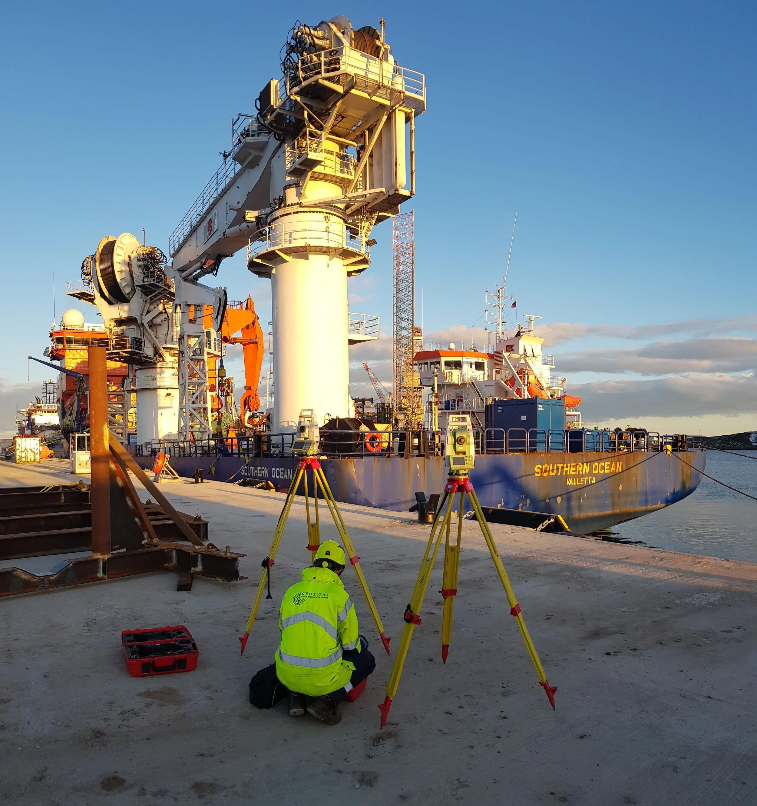
Geospatial surveying plays an important role in understanding the physical environment and providing the accurate location data needed throughout the lifecycle of a project.
From land development and major infrastructure projects to asset mapping and reality capture, geospatial professionals collect, process and interpret spatial information that supports planning, construction, maintenance and asset management.
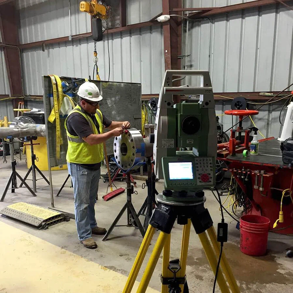
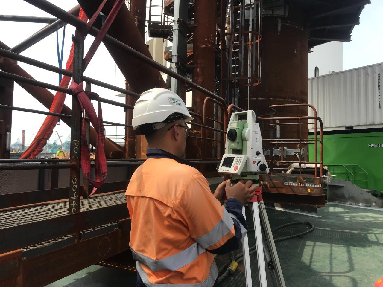
Working with advanced surveying technologies, specialists establish accurate positioning frameworks, capture existing site and asset conditions, and transform measurement data into reliable information that engineering, construction and project teams can work with confidently.
Geospatial Surveying Expertise
The nature of geospatial work means professionals may be involved at many different stages of a project.
This can range from establishing survey control and capturing existing conditions through to setting-out engineering works, producing detailed topographical information and creating accurate digital representations of sites, structures and assets.
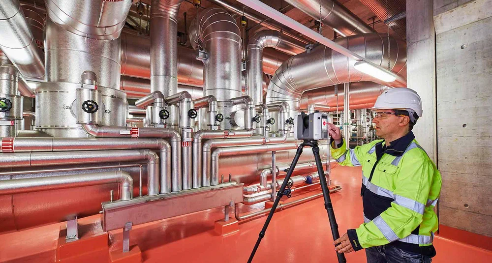
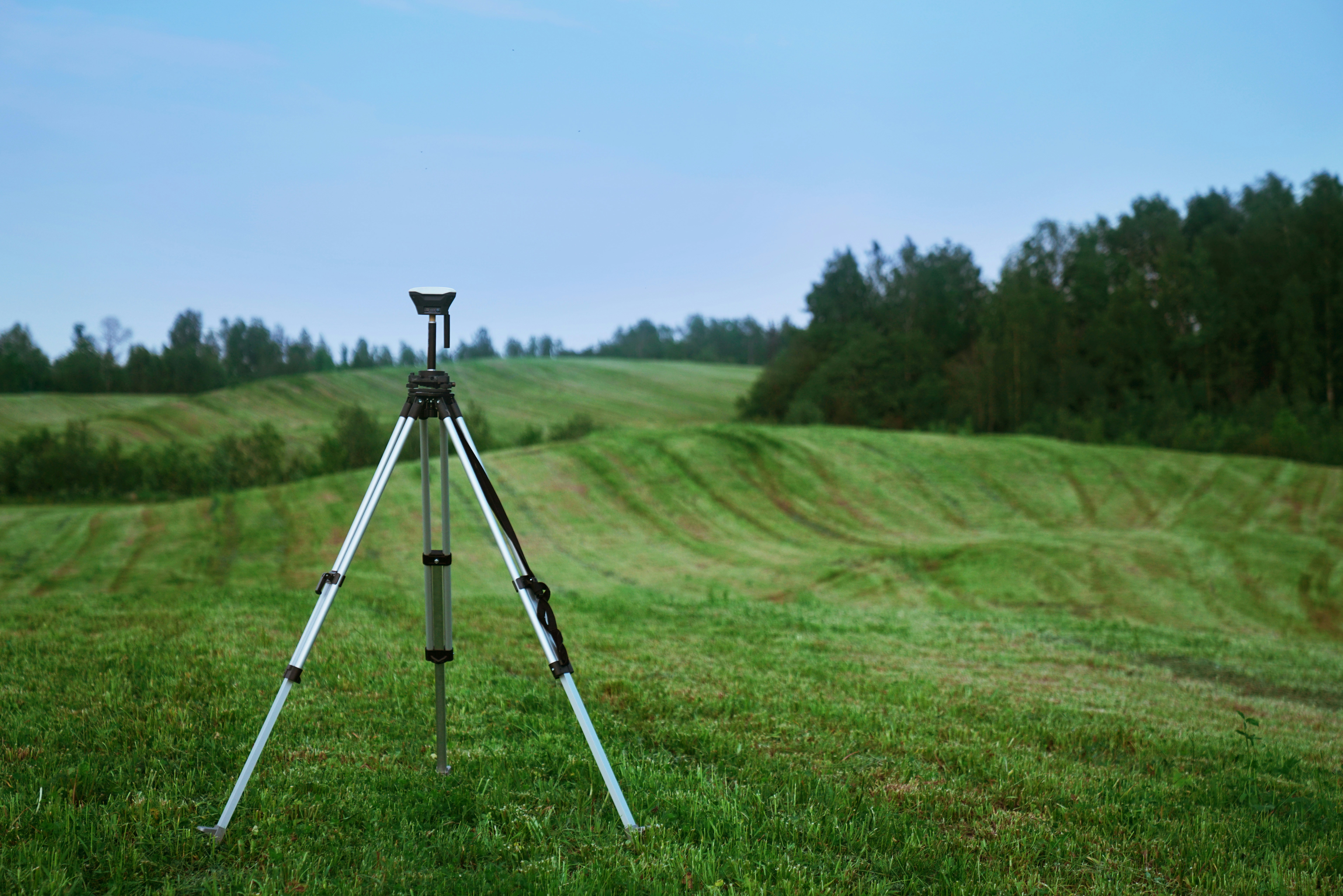
Technologies such as GNSS positioning, 3D laser scanning, LiDAR, photogrammetry and drone surveying allow large amounts of spatial information to be captured accurately and efficiently. The resulting point clouds, mapping and spatial datasets provide valuable information for design, construction and ongoing asset management.
Typical Work
- Topographical & Measured Building Surveys
- Setting-Out & Engineering Surveys
- Boundary, Utility & Infrastructure Surveys
- 3D Laser Scanning, LiDAR & Reality Capture
- Drone Surveying & Photogrammetry
- Survey Control, GNSS Positioning & Coordinate Systems
- Point Cloud Processing, Mapping & Spatial Data
Specialist Geospatial Recruitment
At Mensura Group, our focus on measurement means we understand that geospatial surveying is about more than a job title.
Different projects require different combinations of surveying experience, instruments, software and technical knowledge. Understanding those differences helps us connect geospatial professionals with opportunities suited to their experience and helps organisations identify people with the skills their projects require.
Whether you’re a geospatial professional looking for your next opportunity or an organisation looking for specialist surveying expertise, our focus remains the same: connecting the right measurement professionals with the right projects.